About the OHIS Research Infrastructure
The OHIS Research Infrastructure (Open Ocean In Situ) aims to coordinate the long-term observation of essential ocean variables in key regions through targeted multi-platform measurements: boundary currents, subpolar regions, float deployment in divergent areas, air-sea interface, and high-precision multidisciplinary campaigns.
Given the complexity of offshore ocean dynamics, only a coordinated and coherent observation strategy can enable a comprehensive understanding. The proposed OHIS Research Infrastructure plays a vital role in this strategy, in close interaction with other RIs in the field, by (i) aligning sectoral systems around an integrated vision, (ii) fostering instrumental innovation, and (iii) promoting complementarity between approaches and disciplines. Through regular scientific cruises, OHIS provides critical reference data to support excellent research, validate and qualify satellite and autonomous platform data, and evaluate forecasting model outputs. OHIS focuses on under-sampled areas where permanent installations would be unfeasible. Its data will be key for digital twins and the development of indicators to support public policy.
As an integrative system across all oceanographic disciplines, OHIS will help position France as a key player in sustainable and harmonized global ocean observation. It will provide high-quality environmental data, access to tools and services for researchers and marine users, as well as societal products and indicators.
Closely interacting with other marine research infrastructures within the Fr-OOS (French Ocean Observing System), OHIS is a cornerstone for supporting excellence in national marine research to better meet societal and policy needs. This aligns with the global challenges outlined in the United Nations Decade of Ocean Science for Sustainable Development, which began on January 1st, 2021.
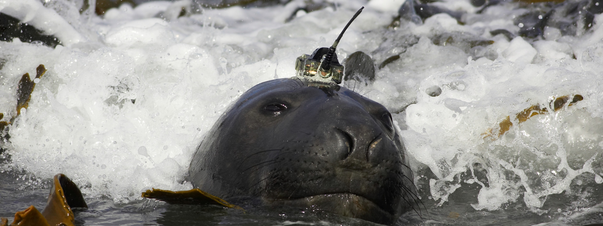
When it was created in 2021, OHIS brought together four open ocean observation systems: PIRATA (ocean-atmosphere interactions in the tropical Atlantic), SSS (Sea Surface Salinity), MEMO (Marine Mammals as Oceanographic Samplers – Southern Ocean), and OVIDE (Observatory of Interannual to Decadal Variability in the North Atlantic). Its application for recognition in the 2021 National Research Infrastructure Roadmap led to OHIS being classified as a "Research Infrastructure project." In 2022, COOL (Long-term Oceanic CO₂ Observations) joined the open ocean observation systems within OHIS.
In 2025, OHIS is once again applying for recognition in the 2026 edition of the National Research Infrastructure Roadmap.
Below is a link to download an opportunity brief document, in French however.


